Type: Road
Direction: Counter-clockwise
Distance: 47 km
Duration: 2h 45′
Accumulated climb: 829 m
Accumulated descent: 829 m
Main passes: Sant Pere de Rodes (Average gradient of 6.9% – Maximum gradient of 19%)
Difficulty: 2/3
Description:
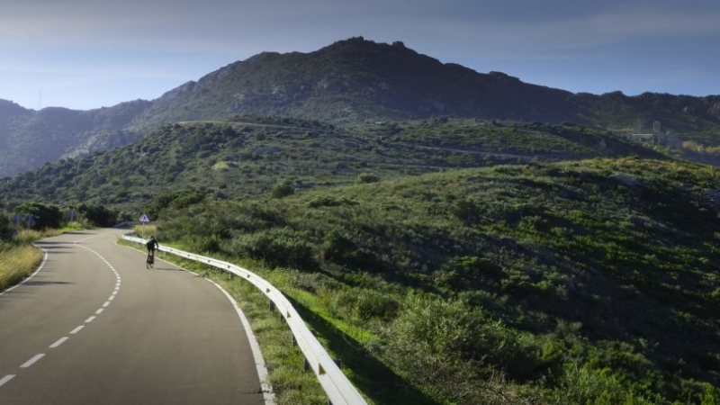
Concentrated over just a few kilometres along this route, it includes an exploration of the spectacular surroundings of Roses, with the combination of short but very panoramic mountain passes and a path through the main enclaves of the Cap de Creus Natural Park.
As an option, when passing through the Coll de Perafita, visiting Cadaqués and the same enclave of Cap de Creus – the easternmost point of the Pyrenees and of the entire Iberian Peninsula – is highly recommended but it does require more time and is about 70 km with a change in level of approximately 1,300 m.
In holiday season and at weekends, leaving early in the morning is recommended in order to avoid traffic on the climb to the Coll de Perafita, especially if you want to go to the lighthouse of Cap de Creus.
The section from Port de la Selva to Vilajuïga is magnificent, both as an activity and for the landscape.
There are no changes in level at end of the route and it will allow you to enjoy the open views of the Empordà plain on an itinerary where you only need to take care while on the road, which can have a significant flow of traffic and on which vehicles drive at some speed.
PRECAUTIONS
- Mountain road with tight bends. There are no kerbs.
- Be careful to stop at the edges.
- Fine gravel on the steep descent towards Vilajuïga.
- The Cadaqués road is quite busy on the first part towards the Coll de Perafita.
- The traffic is much heavier in Summer.


